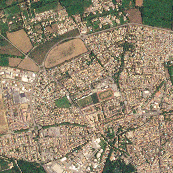
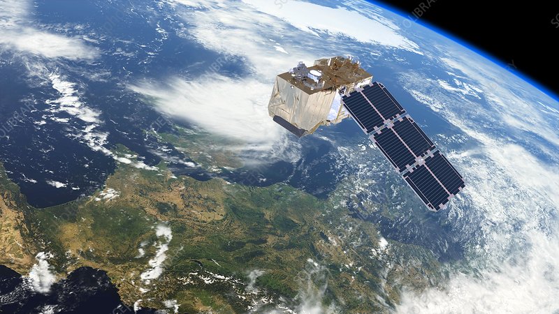
Turning satellite data into Earth Intelligence
Harness the power of Artificial Intelligence and cutting-edge solutions to transform Earth Observation data into actionable insights
Enhanced remote sensing imagery resolution
Get access to AI-driven high quality super-resolved remote sensing imagery
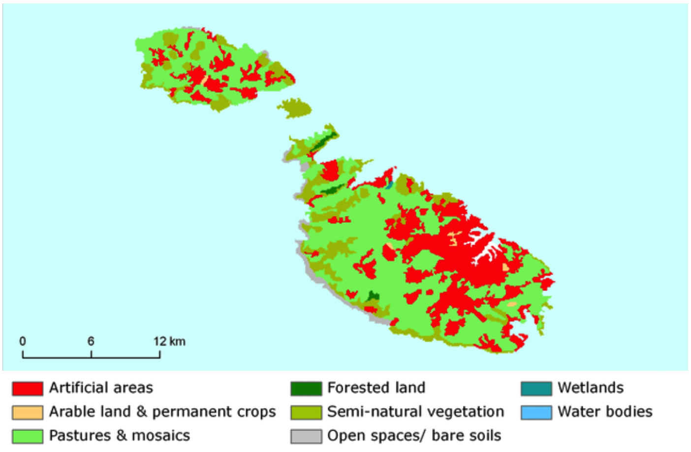
Custom-built AI models
Custom-built AI models for EO monitoring applications
Our Partners
Semablu is proud to partner with a number of entities in the EO ecosystem


About Us
Semablu is an AI-for-Space tech startup based in Malta which
develops Artificial Intelligence models and techniques to
provide our customers with knowledge and insights from Earth
Observation data, as well as added value to the operations of
satellites.
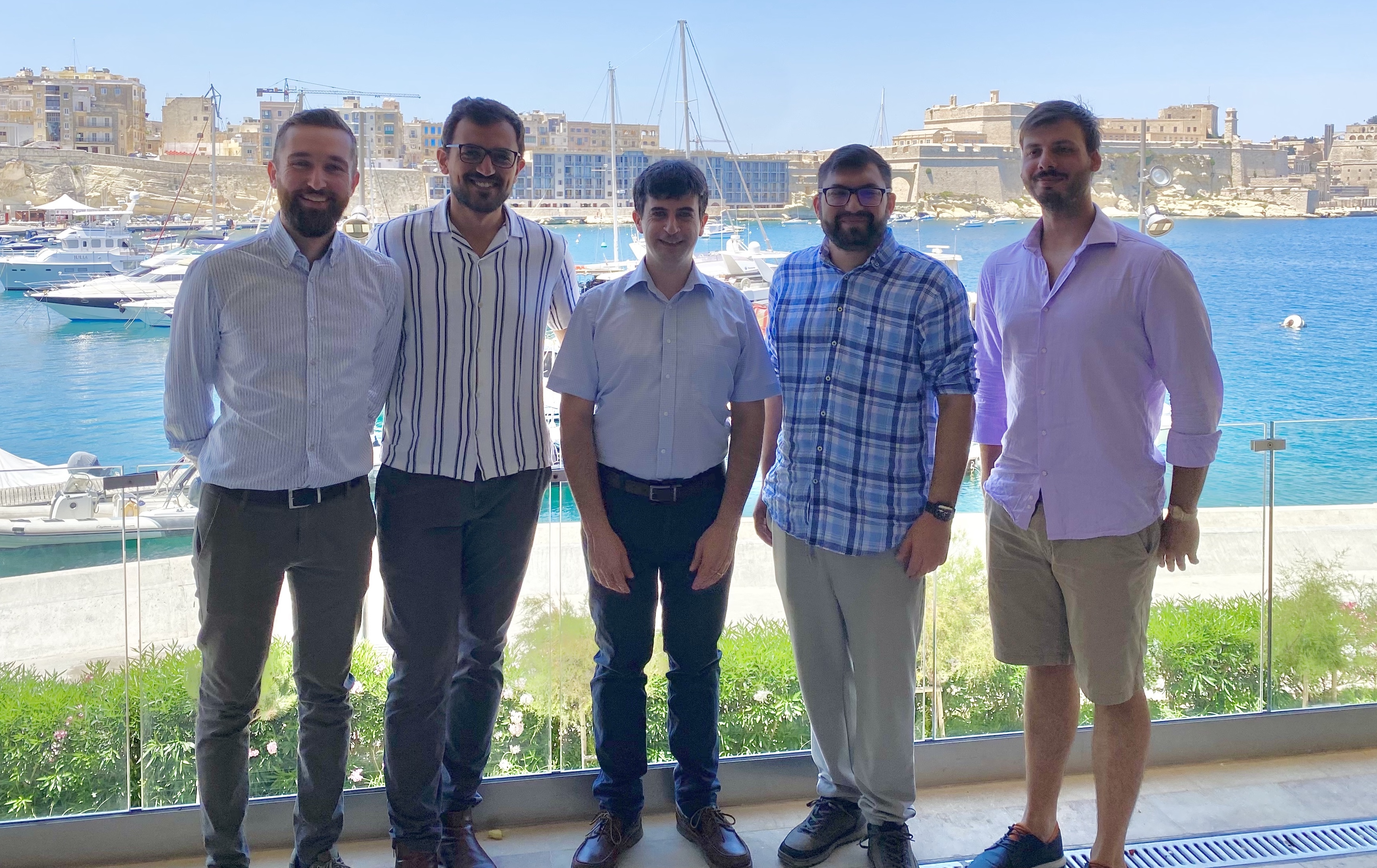
The current team consists of:
-
Prof Ing Gianluca Valentino (founder and CEO)
- Mr Glenn
Sciortino (GIS developer)
- Mr Josef Magri (Backend
developer)
- Dr Leander Grech (Computer Vision
researcher)
- Mr Luke Camilleri (Remote Sensing analyst)
We
build upon years of experience and expertise accumulated on
funded R&D projects in the downstream Earth Observation
sector. The company's name derives from the Maltese words
"Sema" and "blu", meaning "blue
sky". It represents our passion for conducting "blue
sky" R&D as well as our interest in the realm of
space.
Semablu Limited is a private limited liability
company established in 2023 in accordance with the laws of
Malta. It is registered with the Malta Business Registry with
registration number C105506.
Get in Touch
Fill in the form below with your query and we will get in touch with you within 2 working days.
